Ertis River
Ertis River, or Irtysh River, is a prominent body of water in west-central Asia. It cuts a line through the Chinese border between Kazakhstan, Mongolia, and Russia. Ertis River is one of the longest in Asia, at 2,640 miles in length. The main stream it flows from is Ob River. As a couple, they form the seventh-longest river system globally.
History of Ertis River

Ertis River is an ancient waterway and was once a site for Mongol and Turkish settlers. A pinnacle battle fought in 657 on its shores was the Battle of Irtysh River, where the Tang dynasty and Western Turkic Khaganate quarreled. The Tang dynasty won the battle, forming a monumental event in history and leading the Turks to rule the area.
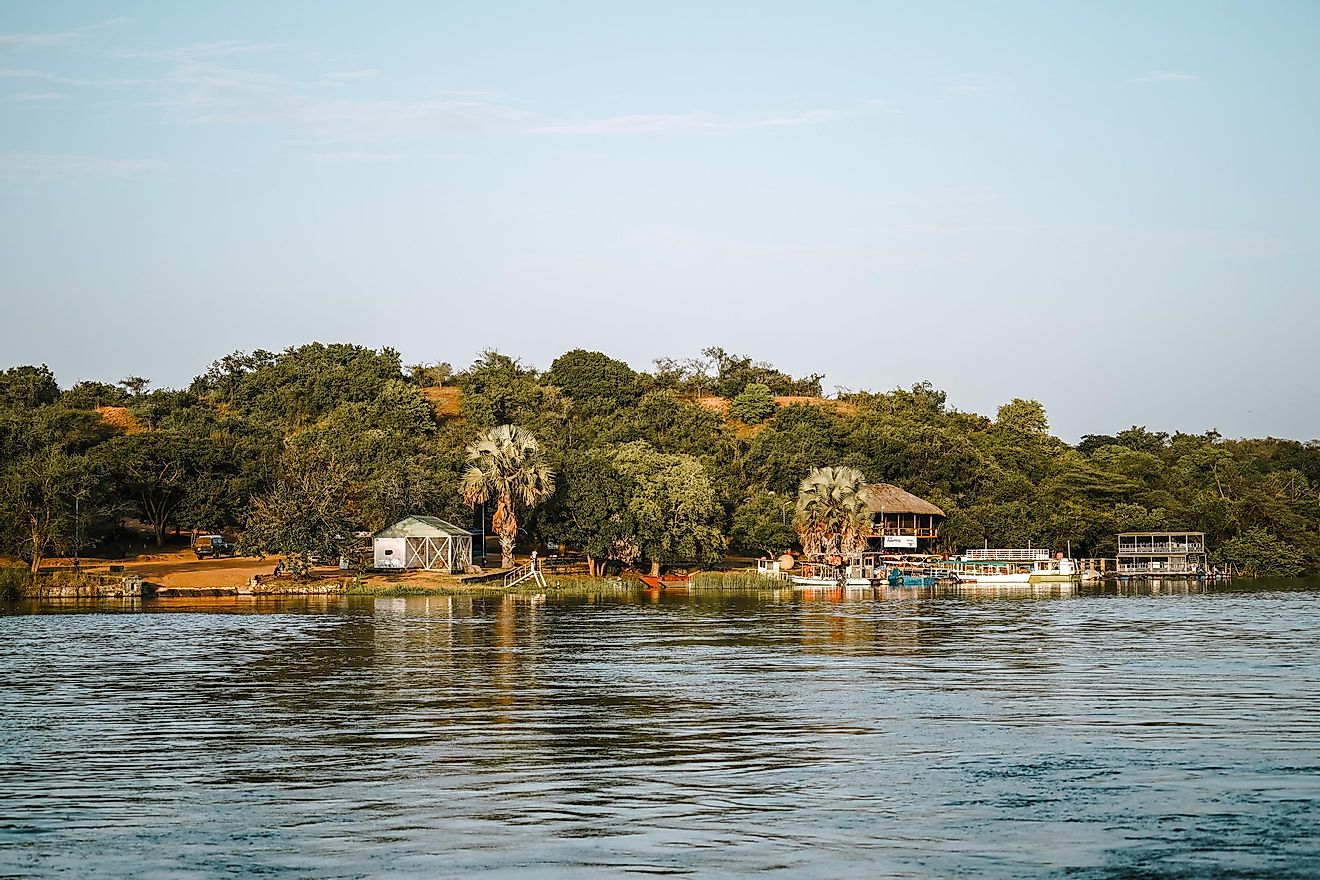
Despite being fought over by clans to come, the Ertis River belongs to China, Kazakhstan, and Russia. It now supports communities near the river and offers industrial uses for agriculture, fishing, and drinking water. In Kazakhstan and Russia, they also use it for transportation, and it is a common pathway for machines and ships. Additionally, power plants dot the shores, creating electricity to support the communities along the river.
Course of the Ertis River

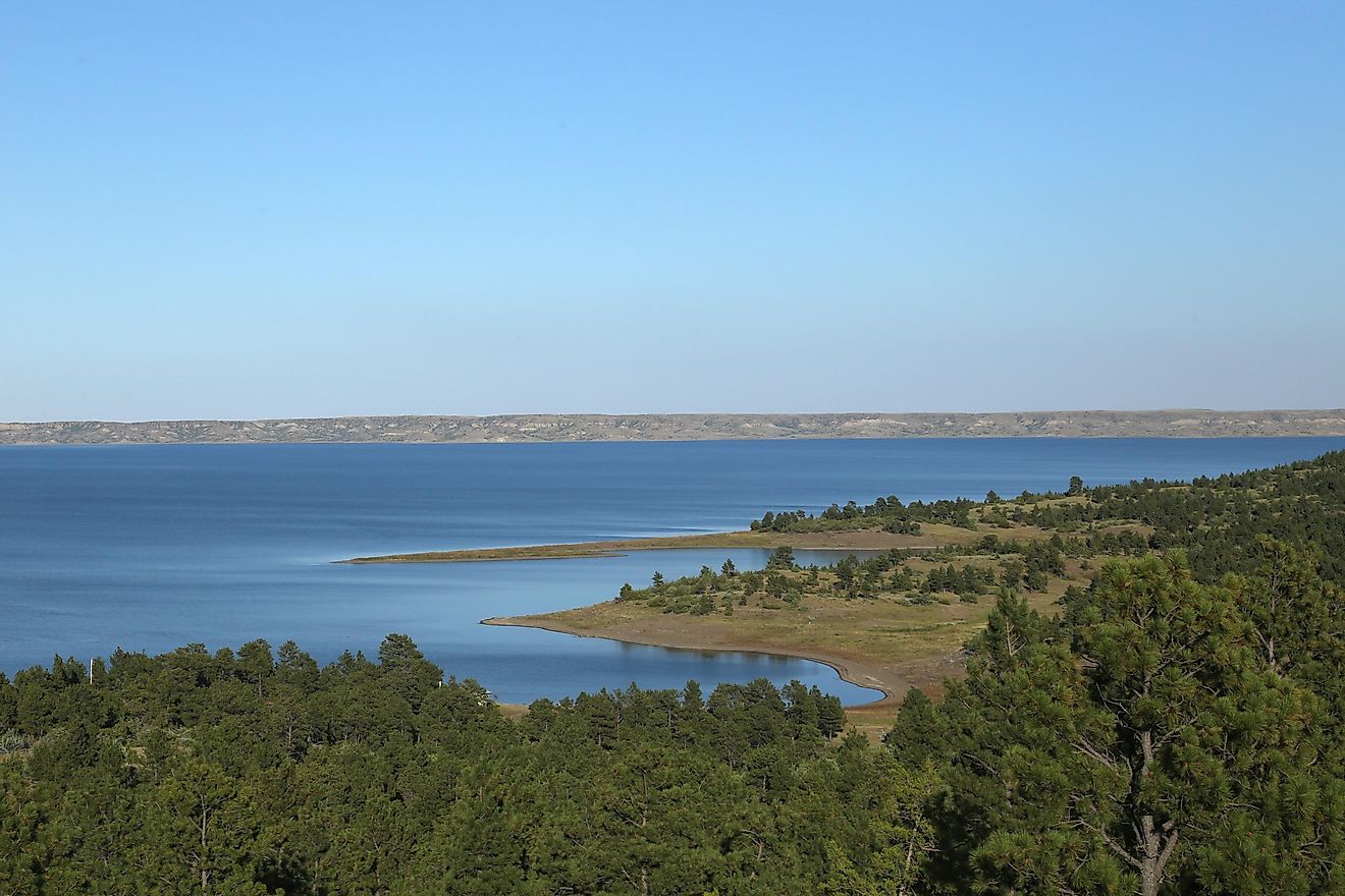
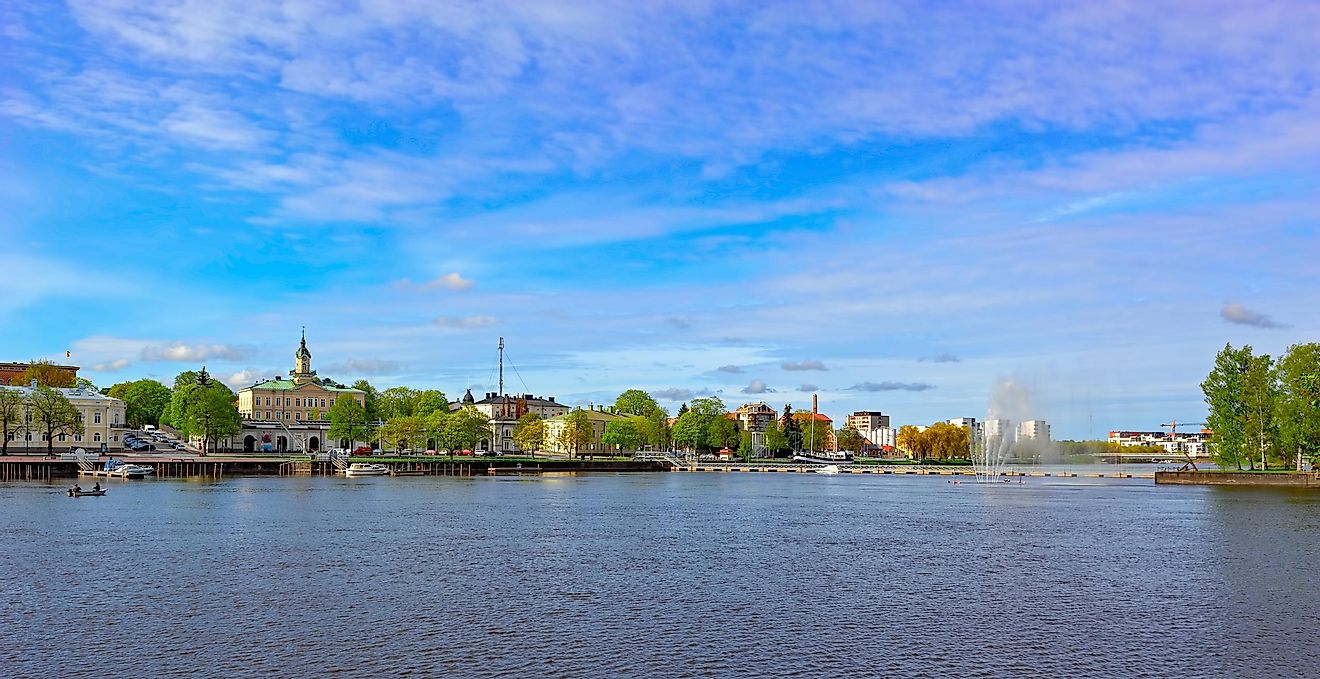
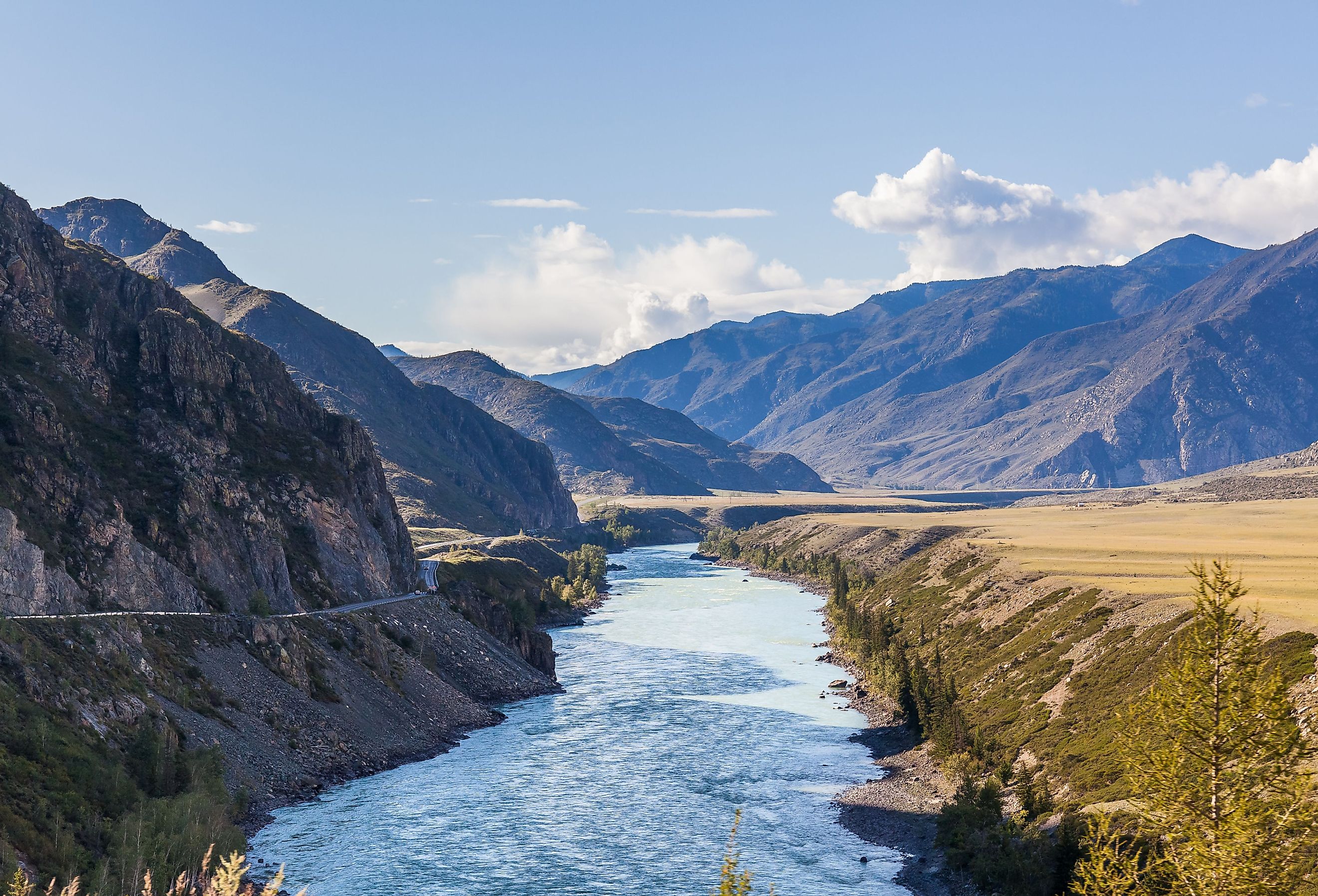
The levels of the Ertis River rise due to melting glaciers in the Altai Mountains. This mountain range resides in the Uygur Autonomous area in northwestern Xinjiang. The melting water contributes to the river’s westward flow across China to Lake Zaysan. From Lake Zaysan, the flow continues northwest across Kazakhstan. It passes by Semey City, a port in the plains of West Siberia. Top industries in this city include light and food processing, and it houses one of the largest meat packaging warehouses in Kazakhstan. They also produce clothes, textiles, and shoes.
From there, after about 100 miles, the river reaches Siberia, Russia, and flows into Omsk—a region known for building machinery and engineering. Following this region, the Ertis River meets swamp land and twists northeast into Vasyuganye Swamp before eventually flowing into Ob River. Ob River spans for 2,299 miles and eventually outpours into the Gulf of Ob in the Kara Sea within the Arctic Ocean.
Economic Purpose

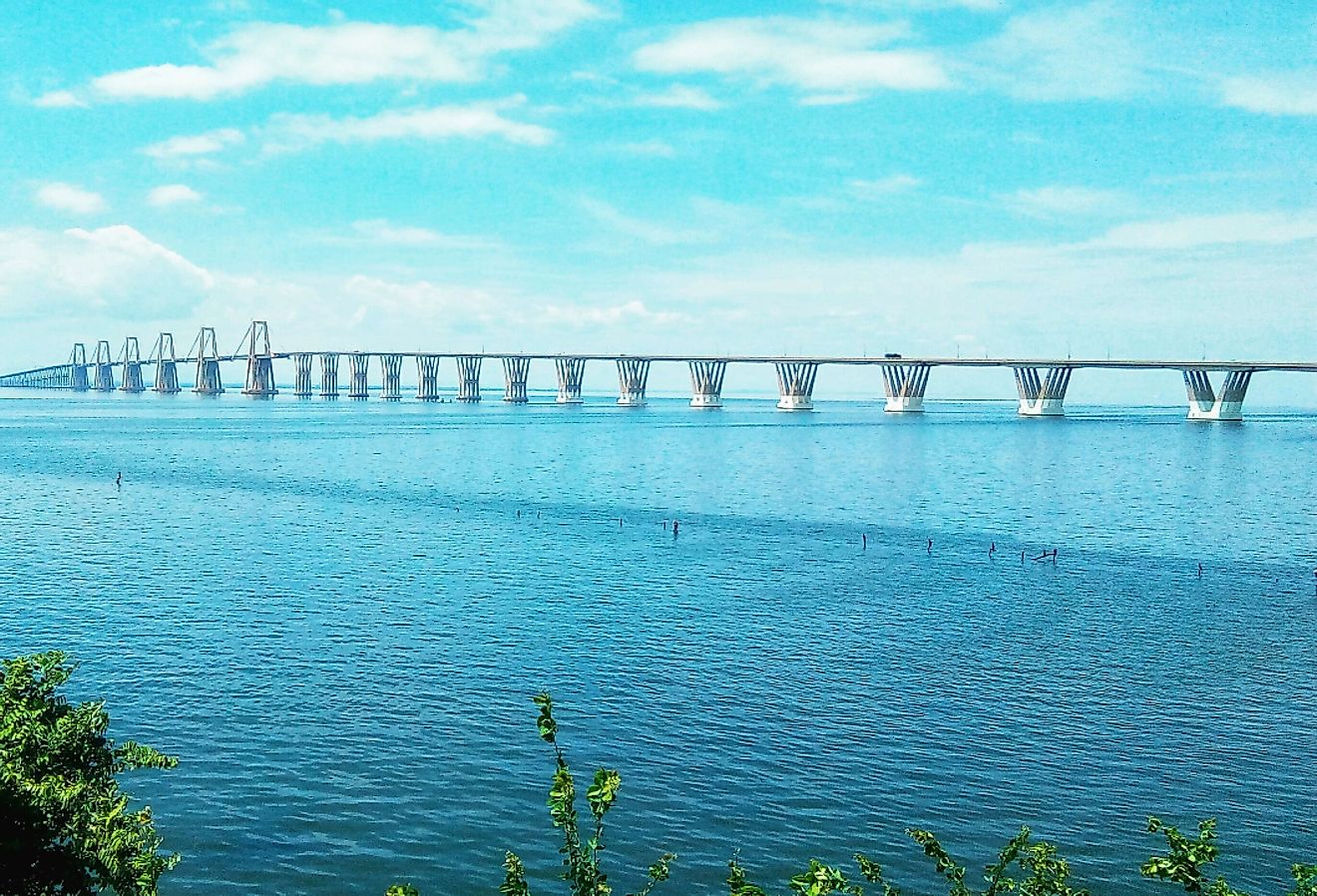
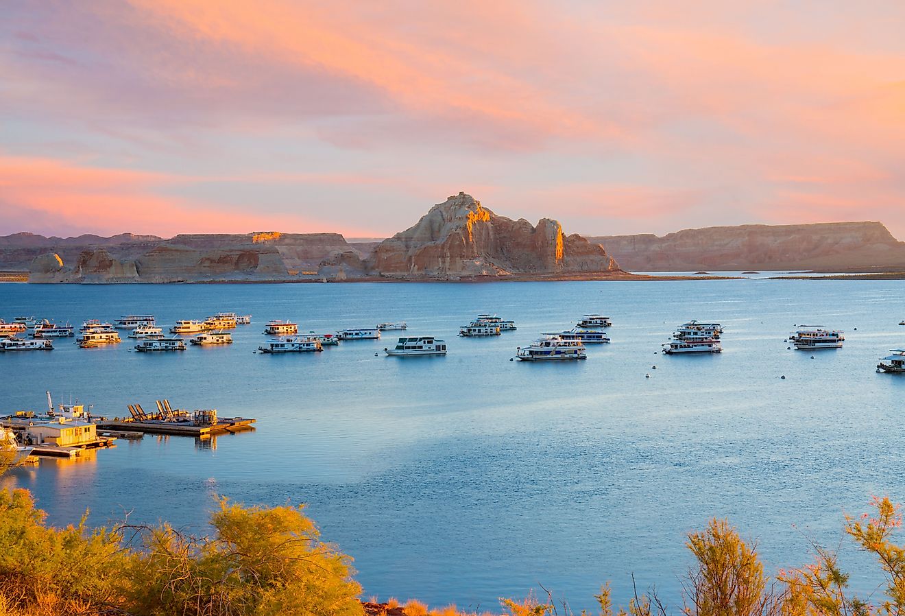
Not all rivers serve an economic purpose—some are for enjoying nature and vacationing—but Ertis River sustains societies going round for several riverbank settlements. Omsk houses a shipping headquarters, Irtysh River Shipping Company, which is the largest Western Siberian port. In Kazakhstan, there are three hydroelectric plants on the river. Fun fact: this river makes for such a great shipping pathway because it contains the world’s deepest lock, meaning it has a drop of 138 feet. This drop allows marine traffic to get around the Ust-Kamenogorsk dam.
Climate and Ecosystem

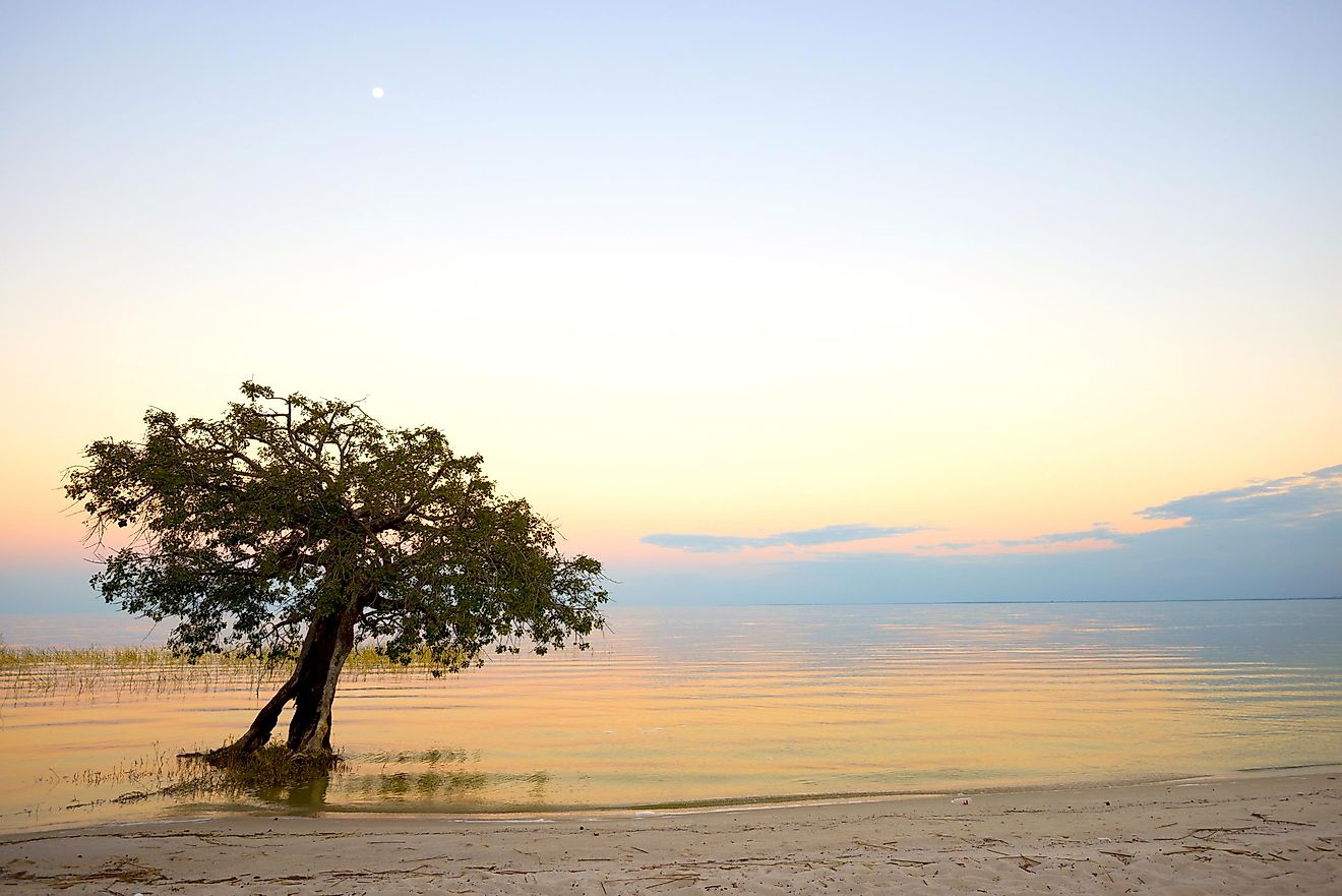
Ertis River boasts a unique climate, as it is a part of the polar habitat in Russia and Kazakhstan. In the summer, people in the river settlements experience warm and dry weather with partial cloud coverage. One of the warmest months of the year is July, with temperatures reaching 84F. The winters are frigid and snowy, with temperatures dipping to -7F to -27F.
The vegetation along the river is a mix of coniferous forests and marsh. Fish that flow through the stream include pikeperch, roach, sturgeon, burbot, and tschirner. On land, find Siberian moles, minks, elk, foxes, and wolves.